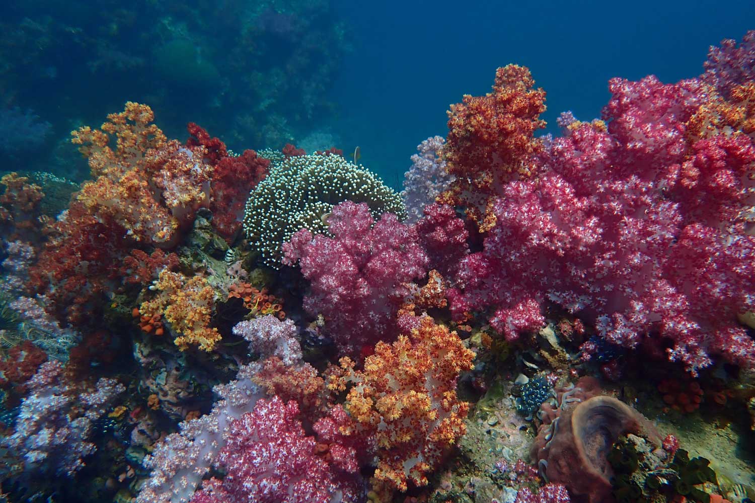
Coral reefs are vital ecosystems sustaining marine life and benefit the global human population. Even though they only make up a small percentage of the ocean’s surface, coral reefs are important for marine biodiversity, global food security, and economic success because of their ability to support industries like fishing and tourism.
Nonetheless, several factors, including pollution and warming ocean temperatures, can cause coral bleaching and coral death. Therefore, research and conservation initiatives are desperately needed to understand and safeguard these delicate ecosystems better.
One such initiative is the research conducted by organizations like TRSC (The Red Sea Collection). This EPFL-led initiative* served as a testing ground for DeepReefMap, an AI system developed at the Environmental Computational Science and Earth Observation Laboratory (ECEO) within EPFL’s School of Architecture, Civil and Environmental Engineering (ENAC).
The advancement of cutting-edge technology, like the DeepReefMap AI system, is a viable strategy for advanced coral reef conservation and study. This system can quickly create detailed 3D maps of coral reefs and classify different coral types using artificial intelligence and underwater imaging. These techniques improve our comprehension of coral reef ecosystems, make monitoring easier, and enable focused conservation efforts.
TRSC projects coordinator Samuel Gardaz said, “With this new system, anyone can contribute to mapping the world’s coral reefs. It will spur research in this field by reducing the workload, equipment and logistics, and IT-related costs.”
Generating 3D reconstructions of coral reefs using traditional approaches is frequently time-consuming, costly, and resource-intensive. These techniques usually entail taking hundreds of photos of a small area of the reef from different viewpoints and points of reference, which are subsequently processed by sophisticated computer algorithms. Furthermore, obtaining them requires the effort of an expert.
Now that a new AI system is in place, even casual divers can gather data. All they need is a standard camera and their typical diving equipment. As they move slowly across the coral reef, they record videos. Their only limitations are the remaining oxygen in the diver’s tank and the lifespan of the camera’s battery.
The EPFL scientists created a unique PVC structure to cover a larger area. Six cameras are housed within, three facing front and three facing rear, separated by one meter. This structure may be operated by one person, making it affordable for budget-conscious diving teams.
DeepReefMap begins processing the video as soon as it is uploaded. Due to its speed and flexibility, it can deal with the difficulties of taking underwater photos, such as dim lighting and water-induced distortion. Conventional 3D mapping software suffers from these problems and performs best in ideal lighting conditions and with high-resolution images. However, DeepReefMap is far more helpful for underwater mapping since its deep neural networks are trained to handle these less-than-ideal circumstances.
Devis Tuia, a professor at ECEO, said, “They’re also limited when it comes to scale: at a resolution where individual corals can be identified, the biggest 3D maps are several meters in length, which requires an enormous amount of processing time. With DeepReefMap, we’re restricted only by how long the diver can stay underwater.”
Also, the researchers made field biologists’ jobs easier. They included semantic segmentation algorithms that are capable of quantifying and classifying corals according to two primary attributes: shape and health. Color can identify one’s health; bright colors indicate excellent health, white colors indicate bleaching and green colors indicate death. The most prevalent coral species found in the shallow reefs of the Red Sea, such as branching, boulder, plate, and soft corals, are included in the standard scale used to classify shapes.
Researchers set out to develop a system that would prove useful to scientists working in the field, and that could be rolled out quickly and widely. The method doesn’t require expensive hardware. All it takes is a computer with a basic graphics processing unit. Semantic segmentation and 3D reconstruction happen at the same speed as video playbacks.
Guilhem Banc-Prandi, a postdoc at EPFL’s Laboratory for Biological Geochemistry (LGB), said, “The system is so easy to implement that we’ll be able to monitor how reefs change over time to identify priority conservation areas. Having hard data on the abundance and health of corals is key to understanding temporal dynamics.”
Scientists will have a base on which to add new data, like population genetics, the diversity and richness of reef species, and corals’ capacity to adapt to warmer seas, thanks to the latest 3D mapping technique. Creating a digital twin—a comprehensive digital reproduction of the coral reef ecosystem—could result from this procedure. Moreover, DeepReefMap might be applied in different settings, like mangroves and shallow-water habitats, and it could help investigate deeper marine ecosystems.
Journal Reference:
- Jonathan Sauder, Guilhem Banc-Prandi, Anders Meibom, Devis Tuia, Scalable Semantic 3D Mapping of Coral Reefs with Deep Learning. Methods in Ecology and Evolution March 14, 2024. DOI: 10.1111/2041-210X.14307