
Oxygen deficient zones (ODZs) are regions in oceans where oxygen concentration is very low or zero. In these regions, respiration occurs using nitrate as the terminal electron acceptor. They make up less than 1 percent of the ocean’s total volume; they are a significant source of nitrous oxide, a potent greenhouse gas.
MIT scientists have generated the most detailed, three-dimensional “atlas” of the largest ODZs in the world. This new atlas provides high-resolution maps of the two major, oxygen-starved bodies of water in the tropical Pacific.
These maps reveal the volume, extent, and varying depths of each ODZ, fine-scale features, such as ribbons of oxygenated water that intrude into otherwise depleted zones.
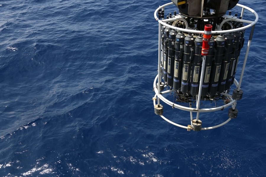
Scientists used a new method to process over 40 years’ worth of ocean data to create this atlas. The data consists of almost 15 million measurements taken by research cruises and autonomous robots deployed across the tropical Pacific.
By compiling and analyzing the data, they generated maps of oxygen-deficient zones at various depths, similar to the many slices of a three-dimensional scan.
Scientists estimated the total volume of the two significant ODZs in the tropical Pacific based on the map. The first zone, which stretches out from the coast of South America, measures about 600,000 cubic kilometers — roughly the volume of water that would fill 240 billion Olympic-sized pools. The second zone, off the coast of Central America, is approximately three times larger.
This atlas acts as a reference for where ODZs lie today. Continuous measurements can be added to the atlas to track changes in these zones and predict how they may shift as the climate warms.
Jarek Kwiecinski ’21, who developed the atlas along with Andrew Babbin, the Cecil and Ida Green Career Development Professor in MIT’s Department of Earth, Atmospheric and Planetary Sciences, said, “It’s broadly expected that the oceans will lose oxygen as the climate gets warmer. But the situation is more complicated in the tropics, where there are large oxygen-deficient zones. It’s important to create a detailed map of these zones, so we have a point of comparison for future change.”
Until now, scientists relied on bottle measurements. By dropping bottles down to various depths and hauling up seawater.
But there are several issues from a bottle measurement when you’re trying to measure truly zero oxygen. All the plastic deployed in oceans is full of oxygen that can leach out into the sample.
Instead of relying on bottle measurements, scientists observed data from sensors. These sensors were attached to the outside of the bottles or integrated with robotic platforms that can change their buoyancy to measure water at different depths.
These sensors measure various signals, including changes in electrical currents or the intensity of light emitted by a photosensitive dye to estimate the amount of oxygen dissolved in water. In contrast to seawater samples representing a single discrete depth, the sensors continuously record signals as they descend through the water column.
Scientists have attempted to use these sensor data to estimate the actual value of oxygen concentrations in ODZs. But, it was extremely tricky to convert these signals accurately.
Kwiecinski said, “We took a very different approach, using measurements not to look at their true value, but rather how that value changes within the water column. That way, we can identify anoxic waters, regardless of what a specific sensor says.”
Babbin said, “We could also see gaps, where it looks like big bites were taken out of anoxic waters at shallow depths. There’s some mechanism bringing oxygen into this region, making it oxygenated compared to the water around it.”
“How the borders of these ODZs are shaped, and how far they extend, could not be previously resolved. Now we have a better idea of how these two zones compare in terms of areal extent and depth.”
Kwiecinski said, “This gives you a sketch of what could be happening. There’s a lot more one can do with this data compilation to understand how the ocean’s oxygen supply is controlled.”
Journal Reference:
- Jarek V. Kwiecinski et al. A High-Resolution Atlas of the Eastern Tropical Pacific Oxygen Deficient Zones. DOI: 10.1029/2021GB007001