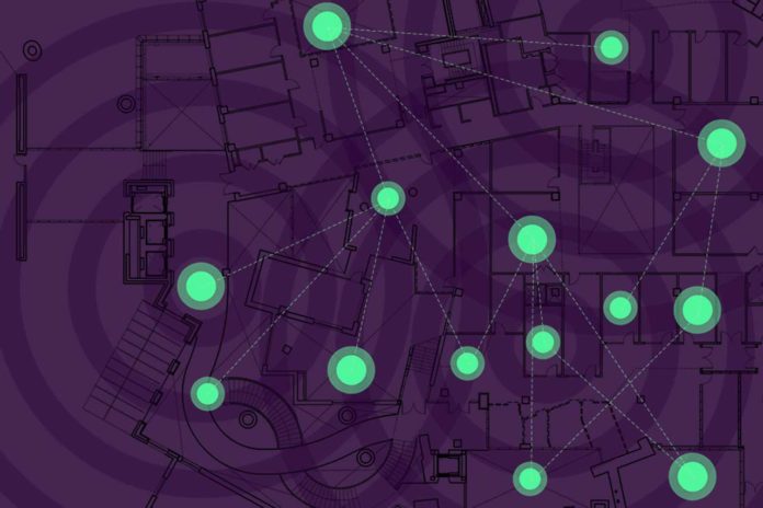
Location awareness is vital for emerging Internet-of-Things applications and opens a new era for Localization-of-Things. MIT scientists have recently come up with a new system that helps networks of smart devices cooperate to find their positions in environments where GPS usually fails.
When devices in a system, called “nodes,” communicate in a harsh environment, the system fuses different sorts of positional data from dodgy wireless signals exchanged between the nodes, as well as digital maps and inertial data. During this, every node considers information related to all possible locations — called “soft information” — in connection to those of all other nodes.
Then by using machine learning algorithms and techniques that decrease the dimensions of processed data, the system decides potential situations from estimations and relevant information. Utilizing that data, it then pinpoints the node’s position.
As compared to traditional methods, this new system operates proficiently, particularly in the harsh environment. It can continuously perform near the theoretical limit for localization accuracy.
Moe Win, a professor in the Department of Aeronautics and Astronautics and the Laboratory for Information and Decision Systems (LIDS) said, “When the tough get tougher, our system keeps localization accurate. In harsh wireless environments, you have reflections and echoes that make it far more difficult to get accurate location information. Places like the Stata Center [on the MIT campus] are particularly challenging because there are surfaces reflecting signals everywhere. Our soft information method is particularly robust in such harsh wireless environments.”
For this work, scientists used soft information for localization. This method uses many signal features and contextual information to create a probability distribution of all possible distances, angles, and other metrics.
The system takes many sample measurements of signal features, including its power, angle, and time of flight. Contextual data come from external sources, such as digital maps and models that capture and predict how the node moves.
However, extracting many features from signals may lead to data with large dimensions that can be too complex and inefficient for the system. Thus, scientists reduced all signal data into a reduced-dimension and easily computable space for improved efficiency.
For this, scientists determined aspects of the received waveforms that are the most and least useful for pinpointing location based on “principal component analysis.” This technique keeps the most valuable elements in multidimensional datasets and discards the rest, creating a dataset with reduced dimensions.
For example, if the received waveforms contain 100 sample measurements, the system might reduce it to eight.
A final innovation was using machine-learning techniques to learn a statistical model describing possible positions from measurements and contextual data. That model runs in the background to measure how that signal-bouncing may affect measurements, helping to refine the system’s accuracy further.
Scientists are now designing ways to use less computation power to work with resource-strapped nodes that can’t transmit or compute all necessary information. They’re also working on bringing the system to “device-free” localization, where some of the nodes can’t or won’t share information.
A paper describing the system appears in the Proceedings of the IEEE.
