Nitrogen dioxide (NOx = NO + NO2) has a limited lifetime in the atmosphere. However, it plays an important role in developing pollutants such as ozone and particulate matter, which may cause respiratory problems and asthma in people and harm plants and agricultural yields. The primary sources of Nitrogen oxides involve the thermogenic release during high-temperature combustion in air from vehicles and power plants, lightning, biomass burning, and microbial emissions from soils.
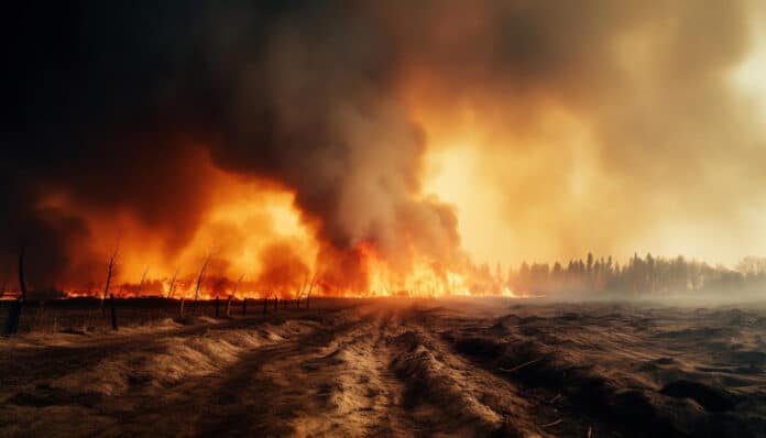
A study from the University of California, Davis, has found an increase in nitrogen dioxide levels in remote forest areas, possibly due to wildfires and soil emissions.
The researchers examined California’s summertime surface and satellite nitrogen dioxide concentrations between 2009 and 2020. They discovered that levels declined by 2-4.5% annually in urban regions while remaining stable in rural areas. Remote forests grow at a rate of around 4.2% each year.
Researchers examined surface nitrogen dioxide levels collected from the state and NASA’s Aura satellite. They classified nitrogen dioxide zones in the atmosphere based on surface temperature and soil moisture levels.
The new study also used a California fire incidence database to categorize areas into five categories: urban, forest, croplands, scrublands, and barren (low vegetation). Controls on internal combustion engines and other fossil fuel emitters have lowered nitrogen dioxide levels in urban areas, where most air pollution sensors are located. On the other hand, Continuous satellite data helped fill in the gaps in less-monitored areas, showing that wildfires and emissions from soils, particularly agricultural soils with fertilizer use, correspond with a rise in nitrogen dioxide levels.
The findings could inform future policy decisions as regulators seek further reductions in the pollutant. As emission-reduction measures continue to lower fossil-fuel emissions, regulators must consider additional sources that traditional internal combustion sources have traditionally dominated.
Faloona said, “Those will be increasingly important in future air quality policy. Soils, particularly wildfires, will become steerers of the ship of our air pollution. We must put much effort into curtailing the effects of wildfires and better understanding our emissions from agricultural soils.”
High fertilizer usage areas can source nitrogen dioxide emissions because bacteria compete with crops for nitrogen, producing gaseous nitrogen compounds. However, further study will be required to determine the precise effect of wildfire and soil on the growth of ambient nitrogen dioxide.
The researcher said, “Our results point to opportunities for different sets of policies and technologies to assist in reducing nitrogen dioxide concentrations in rural and economically disadvantaged areas of California, but will require a concerted effort to understand better the exact environmental dependence of soil and wildfire emissions.”
The result shows a significant increase in NO2 levels in urban areas, while non-urban areas show no noticeable or steady increases in NO2 levels.
The U.S. Department of Agriculture’s National Institute of Food and Agriculture funded the research.
Journal Reference:
- Yurun Wang, Ian C Faloona, et al. Satellite NO2 trends reveal pervasive impacts of wildfire and soil emissions across California landscapes. Environmental Research Letters. DOI: 10.1088/1748-9326/acec5f
