The evidence from landscape change may give significant limits to historical geodynamic processes. However, the enormous uncertainty of topographic reconstruction has limited it.
Lead author Sean Gallen, an assistant professor of geosciences at Colorado State University (CSU), worked with his colleagues to create new data sets and methodologies for using landscapes to retrace the lengthy histories of mountain formation in southern Italy.
One tectonic plate falls beneath another in subduction zones, such as Calabria in southern Italy. The crumpling and thickening of the Earth’s crust are thought to have played a role in the formation of the mountains in these regions.
Sean Gallen, lead author and CSU assistant professor of geosciences, said, “Mountain building is a fundamental process of how Earth behaves, and this study suggests that we may not understand that as well as we thought we did.”
The researchers combined measurements from geologically short and long durations ranging from thousands to tens of millions of years. The landscape filled the gaps like a “geologic tape recorder” recording tectonic history.
Gallen said, “In southern Italy, the landscape is the bridge between these different methods that we typically use.”
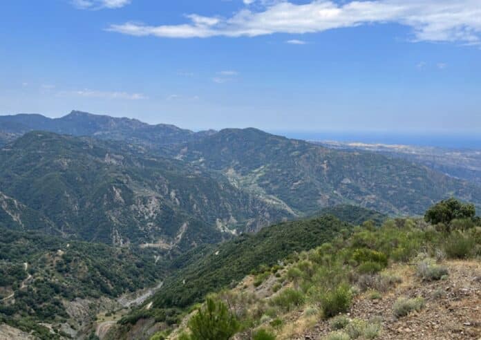
The flat, high-elevation landscape regions along the “toe” of the Italian peninsula depict a time when mountain creation was gradual, and a sharp transition below marks a quick acceleration.
These geographical indications enabled the researchers to create the longest and most complete long-term continuous record of rock uplift.
He said, “We would expect to see a correlation between the rate at which the plate is diving down beneath the other plate through time and our rock uplift history, and we don’t see that.”
Crumpling and crust thickening are secondary processes in the development of the Calabrian Alps.
According to data, the fundamental force driving rock uplift is the fall of the lower plate into the Earth’s mantle and its adjustment of the mantle flow field.
The researcher said, “The results suggest that the typical way we view mountain building doesn’t hold for southern Italy. It appears to be controlled by things much deeper within the Earth system. This behavior has been seen in models but never in nature. This is the first time we think we’ve observed it.”
This research shows for the first time that this mechanism is the primary driver in mountain development in subduction zones, despite previous research linking mountain height to tectonic plate interactions within Earth’s plastically flowing mantle.
He also said, “The records we have produced imply that deep earth signals appear to dominate what’s happening at the surface. I’ve been working in the Mediterranean for 15 years, and this result has profoundly changed the way I think about these subduction zones.”
The researchers developed a unified framework based on thermochronology, cosmogenic nuclides, bedrock river profiles, and the record of historical sea levels seen in marine terraces.
The revolutionary methodology reaches further back in time than other methods. It employs multiple data sets to constrain modeling in a novel way.
The technique works well in active systems where the contemporary landscape hints about the past. The longer a system has been active in geologic time, the more difficult it is to recreate its history confidently.
Gallen expects the new techniques to promote research and discoveries in other fields. Although current numerical models support their interpretation, Gallen highlighted that more data is required to establish whether it is accurate.
Journal Reference:
- Gallen, S. F., Seymour, et al. Calabrian forearc uplift paced by slab–mantle interactions during subduction retreat. Nature Geoscience. DOI: 10.1038/s41561-023-01185-4
