
While observing Earth from a small space station, astronomers found big, white clouds spreading across the planet. Via an experimental small satellite, they found that the clouds are filled with small frozen particles normally called ice clouds.
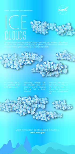
Ice clouds start as tiny particles high in the atmosphere. Absorbing moisture, the ice crystals grow and become heavier, causing them to fall to lower altitudes. Eventually, the particles get so heavy, they fall and melt to form raindrops. The ice crystals may also just stay in the air.
They affect Earth’s energy budget by either reflecting or absorbing the Sun’s energy and by affecting the emission of heat from Earth into space. Thus they perform a vital role in weather and climate models.
Estimating atmospheric ice on a worldwide scale remains profoundly unverifiable as satellites have been unable to identify the measure of little ice particles inside the clouds. These particles are excessively murky for infrared and obvious sensors to enter. To conquer that constraint, IceCube was equipped with a submillimeter radiometer that connects the missing sensitivity amongst infrared and microwave wavelengths.
Regardless of weighing just 10 pounds and being about the size of a roll of bread, IceCube spacecraft is finished with three-pivot disposition control, deployable solar arrays and a deployable UHF communications antenna. The CubeSat turns around its pivot, similar to a plate turning on a shaft. It indicates at Earth take an estimation at that point takes a gander at the frosty space to adjust.
Credits: NASA Goddard/ Jennifer Brill
Dong Wu, IceCube principal investigator at NASA’s Goddard Space Flight Center in Greenbelt, Maryland said, “Originally a 30-day technology-demonstration mission, IceCube is still fully operational in low-Earth orbit almost a year later, measuring ice clouds and providing data that’s “good enough to do some real science.”
“The hard part about developing the CubeSat is making the commercial parts durable in space. We bought commercial components for IceCube and spent a lot of time testing the components making sure each part worked.”
“While the IceCube team planned for the mission to operate for 30 days in space, “It does not cost very much to keep it going. So we extended the mission due to the outstanding science that IceCube is performing. We download data eight to 10 times a week. Even if we miss a week, the CubeSat can hold a couple of weeks of data.”
“I’m not surprised by how long IceCube has lasted. It will last about a year when it will reenter Earth’s atmosphere and burn up in.”
This is a three-month average of ice clouds. The brightest peak areas represent the largest concentration of ice clouds. They are also the spots with heavy precipitation beneath. They reach up to the top of the troposphere from deep convection, which is normally strongest in the tropics.
The IceCube team built the spacecraft using funding from NASA’s Earth Science Technology Office’s (ESTO) In-Space Validation of Earth Science Technologies (InVEST) program and NASA’s Science Mission Directorate CubeSat Initiative.