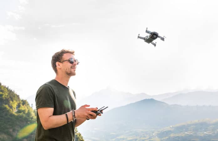
The massive use of drones for civilian and military applications raises many concerns for airports and other organizations. These small commercial unmanned aerial systems pose significant security risks due to their agility, accessibility, and low cost. There is, therefore, a growing need to develop methods for detection, localization, and mitigation of malicious and other harmful operation of these drones.
Now, a team of researchers from David Ben-Gurion University of the Negev (BGU) has developed an artificial intelligence system to autonomously determine the location of drone operators, who may be operating maliciously or harmfully near airports or protected airspace. The new system is based on the analysis of the flight paths of drones that can be useful for tracking malicious operators.
“Currently, drone operators are located using RF techniques and require sensors around the flight area, which can then be triangulated,” says lead researcher Eliyahu Mashhadi, a BGU computer science student. “This is challenging due to the amount of other WiFi, Bluetooth, and IoT signals in the air that obstruct drone signals.“
The solution to this problem was associated with the use of a neural network. Instead of focusing on trying to unravel the various signals, experts trained a deep neural network to be able to predict the location of drone operators, given the path of the drones – even in motion. The method now requires no additional sensors. The approach is based on the fact that the drone’s behavior in the air is visibly different depending on the location of the pilot. Even an experienced viewer can usually determine if the pilot is controlling the device in a first-person view or whether he is looking at the drone from a distance.
For testing, the team used AirSim (Aerial Informatics and Robotics Simulation), which is an open-source, cross-platform simulator for drones, using more than 10 kilometers of roads with many city blocks. The flight simulator provides a realistic flight experience for the operator that includes sun gazes, obstructions, and other visual effects, producing the reactions of the operators that allow us to identify their location.
The new algorithm was able to predict the operator location with 78% accuracy. According to the researchers, improving algorithms in the future may even provide information on operator skills.
“Now that we know we can identify the drone operator location, it would be interesting to explore what additional data can be extracted from this information,” says Dr. Yossi Oren, who also contributed to the research. “Possible insights would include the technical experience level and even precise identity of the drone operator.”
In the next step, the research team intends to repeat this experiment with data captured from real drones. A paper on the BGU’s research was presented at the Fourth International Symposium on Cyber Security, Cryptography, and Machine Learning (CSCML 2020) on July 3.
